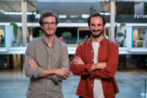
CarbonFarm Technology lands $2.6m to decarbonize rice through satellite-verified carbon credits
The CarbonFarm satellite system monitors rice “at the paddy level” to bring more trust to the carbon credits process.

The CarbonFarm satellite system monitors rice “at the paddy level” to bring more trust to the carbon credits process.
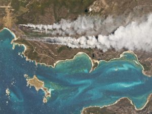
From Landsat through to modern-day providers like Planet, satellite imagery has had a role to play in agriculture. But many misconceptions persist.
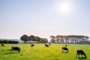
Organic Valley is piloting a tool that uses satellite data to help its dairy farmers make better grazing management decisions.
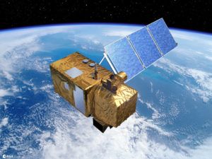
Remote sensing startups like France’s SpaceSense generate satellite data insights for precision agriculture by developing pattern recognition algorithms.
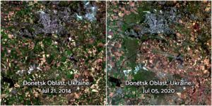
From Ukraine to Syria to Yemen, satellite data – including imagery and AI-driven analytics – is helping to track the impact of conflict on agriculture.
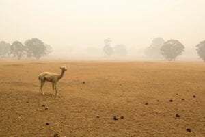
For Earth Day, we asked satellite imagery analytics company Geosys to provide an overview of how climate change has impacted agriculture industries all over the world using data from its 2019 Climate & Crop Report.
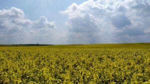
A recent study from EOS Crop Monitoring identified millions of acres of “shadow” farmland in Ukraine, offering a case study on satellite data’s value in agriculture.

Indigo Agriculture, the microbial ag products startup-cum-agribusiness marketplace has acquired TellusLabs, a startup using satellite imagery to monitors the world’s croplands.
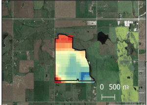
VanderSat, which joins a growing number of remote sensing startups targeting the agriculture sector, is taking a different approach to others, namely in its use of microwave sensors.
Who we are BioSense Institute cross-fertilizes two vital sectors of today: ICT and agriculture. Recognizing that ICT plays a pivotal role in ensuring sustainable, smart
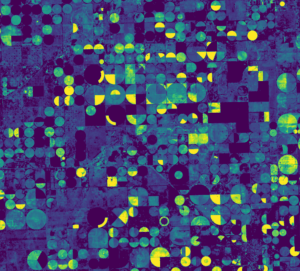
The startup will use the funding to accelerate the launch of Astro Digital’s Landmapper constellation – it is planning eight launches for 2017 – and its analytics platform.

ProducePay, Leaf Space, KisanHub, Agrivi, Holachef, and Chefmarket contributed to this week’s fundings-in-brief.
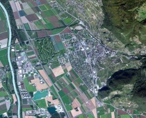
Orbital Insight’s $20m Series B, Thrive Market’s $111m, and Ancera’s $8.9m Series A are just a few of the fundings adding to this week’s fundings-in-brief.

A UK satellite imagery company, Google Ventures’ investment in a sensor technology, and a flower delivery company attracting capital from an agtech VC contribute to this week’s Fundings-in-Brief.
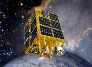
How three new startups are approaching satellite imagery for the agriculture industry in slightly different ways.
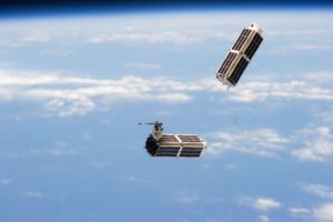
2015 was a big year for Planet Labs, the satellite company. We caught up with Ryan Schacht, account executive for agriculture ahead of the World Agri-Tech Investment Summit in San Francisco to get an update.
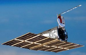
Planet Labs, which operates the largest fleet of earth-imaging satellites, has announced the first closing of their $70 million Series C, with continued backing from some
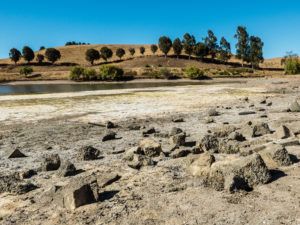
Using a microwave radiometer and radar, SMAP will measure surface soil moisture and freeze-thaw levels across the entire globe every two to three days, providing what NASA calls the “most detailed maps yet made” of these conditions worldwide.
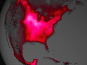
One day, NASA will tell you how well your crops are doing. A recent study from the National Academy of Sciences has shown that

“We acquired the assets through an auction, so we’ve acquired the brand name, all the data sets, the customer contacts, essentially all the assets, and none of the liabilities,” says Almanac CEO Sumer Johal

Sponsored
Sponsored post: The innovator’s dilemma: why agbioscience innovation must focus on the farmer first