Switzerland-based Picterra has raised a $3.3 million seed round backed by Space Capital, a venture capital firm for space tech, impact investor Omidyar Network, Berlin-based tech venture capital firm Atlantic Labs, and another unnamed investor.
Picterra makes AI-based software that can be programmed to identify and map objects in satellite and drone images. The company markets its platform for a wide range of uses, from precision agriculture to city planning to humanitarian aid.
“Picterra’s technology is built upon the advent of artificial intelligence and the increasing availability of Earth Observation imagery,” said Chad Anderson, Space Capital’s managing partner. “Picterra provides AI as a service for Earth Observation imagery, with the aim to put powerful deep learning models at users’ fingertips.”
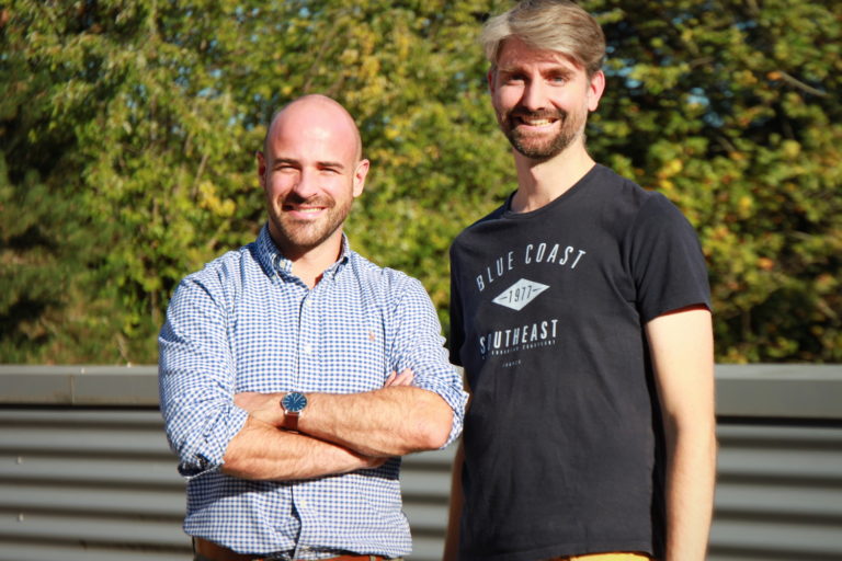
Founders Frank de Morsier and Pierrick Poulenas started Picterra in 2016 to allow individuals and organizations to take advantage of the ever-growing volume of “Earth Observation” imagery, primarily from satellites and drones. Users can train the platform by identifying images that are relevant to them, such as buildings or trees, and then layer in other data sources for imagery analysis.
The company’s platform is being used in the agriculture sector to map and analyze vineyard vine health, for example. Grape growers use the software to identify and plot vine canopy on an image, which trains the platform to find other vines and omit other plants and objects, like grass and rocks. This then allows users to conduct more accurate imagery analysis of vine health, because it excludes “disturbances” from other nearby vegetation.
“We aim at providing an efficient workflow making the relevant information available to vineyard experts, making prioritization of work, focused in-depth analysis and overall decision easier,” Picterra wrote in a blog post.
Its platform also allows users to share work, solicit feedback and build on from others’ models.
Picterra launched with a free version of its platform in 2018, and has since added on premium, fee-based services for professional users. The company anticipates a growing number of use cases for its platform and more sophisticated user models as Earth observation imagery proliferates from new commercial satellites and drone technology.
Omidyar Network, eBay founder Pierre Omidyar’s philanthropic investment firm, backed Picterra for its applicability to issues like wildlife or forest conservation, or to map post-disaster zones.
“For geospatial technology to reach its full potential in promoting social good and impact, it cannot stay in the hands of a few,” said Peter Rabley, venture partner at Omidyar Network. “That’s why organizations that democratize industry data and expertise, like Picterra, are so vital.”


Sponsored
Sponsored post: The innovator’s dilemma: why agbioscience innovation must focus on the farmer first