Though the storms of hundreds of billions of locusts ravaging crops across East Africa have been the worst in seventy years, most crop damage around the world relates to something more fundamental — water, whether that’s floods, droughts or impurities. (Even the locusts themselves breed best after unusually heavy rainfall.)
One way to monitor soil moisture is the direct approach taken by companies like Finland’s Soil Scout — plant soil sensors below the ground and keep track of the results, a method that helped the company close its late seed stage round late last year led by the Husqvarna Group, a Swedish manufacturer.
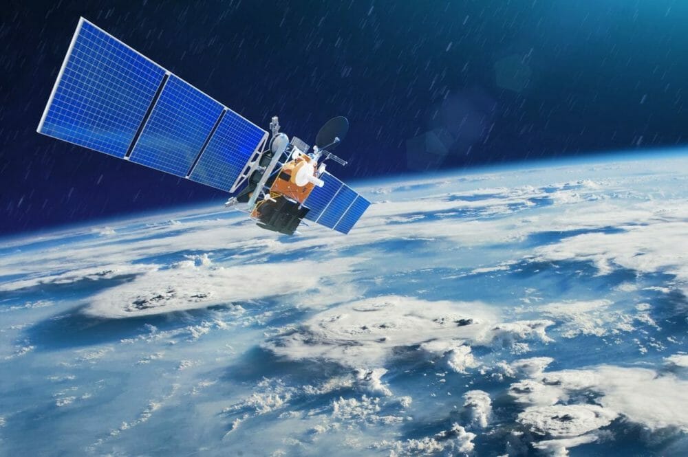
But the Dutch company VanderSat has a more drastic idea, one that’s kind of out of this world. Namely, measure and map the soil’s moisture from a constellation of satellites in space using “passive microwave” technology, accompanied by a lot of complex mathematics to make sense of the data.
It has clear advantages over certain optical satellite imagery, says Richard de Jeu, founder and chief technology officer of VanderSat, in a phone interview with AFN. “You have the benefits of seeing through clouds and nightfall,” he said, “and microwaves give you information about subsurface conditions.” These data streams can be of the same quality as those from soil sensors, he claimed, but without the drawbacks of having to scatter and install them across every field you want to look at. Satellite data can give you an instantly global outlook.
The company reckons its space-eye view is not just aimed at helping farmers seeking to boost yields through irrigation monitoring or fertigation; it also aids the insurance industry, which has long struggled to offer cover for smallholder farmers in remote areas for drought or flooding. Doing so without satellites would have required costly inspections that insurers formerly found weren’t worth the hassle for small plots of land, and now travel restrictions from Covid-19 could prove a practical impossibility in any case. But mapping from satellite observation can better help calculate realistic risks and premiums without having to leave an office, or even go to one, for that matter.
Microwaves, macro impact
The premise has caught the attention — and an investment of “several million euros,” AFN can reveal — from Social Impact Ventures, a Dutch early stage investor focused on “accelerating the transition to a circular and inclusive society.”
VanderSat is the firm’s 14th investment. A partner at Social IV, Helmer Schukken, said the team had made a strategic decision to press on with the deal irrespective of the Covid-19 pandemic.
“The current crisis makes us, as impact investors, even more determined,” he wrote in a note sent to AFN.
He said his company had been scoping out VanderSat already for three years, but had held off investing because it had seemed too early. Now they have invested, Schukken wanted to see the company focus its impact on improving the “financial stability of millions of smallholder farmers,” and on working to improve water usage in global agriculture.
Dutch startup Sensoterra is taking its soil moisture probes Down Under. Find out more here.
The funding, and VanderSat’s focus on financial inclusion, builds on an earlier partnership with Swiss Re, the world’s second-largest reinsurer, to create new insurance products fueled by the startup’s dataset and capabilities. That deal came just a few months after coming out of stealth in January 2018 once it had received €1.34 million ($1.6m) in grant funding from the European Commission.
As well as securing a new tranche of funding, a move the company had initially claimed might not have been necessary, VanderSat is changing things up at the top of the company. Founder Menno van der Marel has stepped away from his role as CEO to non-executive chairman, with Dr. Thijs van Leeuwen replacing him. Prior to joining VanderSat, van Leeuwen was a visiting scientist at NASA Goddard Space Flight Center and Researcher at the Netherlands Institute for Space Research (SRON).
Constellations of competitors
Van Leeuwen will be pressing for an edge against a growing constellation of satellite data-based offerings seeking to enhance agriculture’s environmental and social governance. Ecometrica, for example, is tracing cocoa supply chain corruption, while Satelligence is working to expose palm oil deforestation. Boston’s Upstream Tech is using its BasinScout Platform to collaborate with The Freshwater Trust on water quality and has launched AgTrends to support monitoring, verification and impact reporting using satellite data and machine learning. Initiatives like the Africa Soil Information Service (AfSIS), meanwhile, develop standards and methodologies to use satellites to improve cropland management. In Ukraine, companies like EOS Crop Monitoring are even figuring out the fundamental questions of whether farms exist — it turns out 10.6 million acres worth of farms do exist there that the Ukrainian government never even knew about.