SlantRange, a US drone sensor manufacturer and imagery analytics provider using computer vision for agriculture, has been hired by Bayer CropScience to provide intelligence about the German agribusiness’s crop breeding and research programs in the US.
SlantRange will contract drone pilots to fly over Bayer’s facilities in the US and collect data about various pilot programs using its 3p multispectral sensor. The startup will then run that data through its software program SlantView to provide Bayer with quantitative metrics about the status, health, and yield potential of crops.
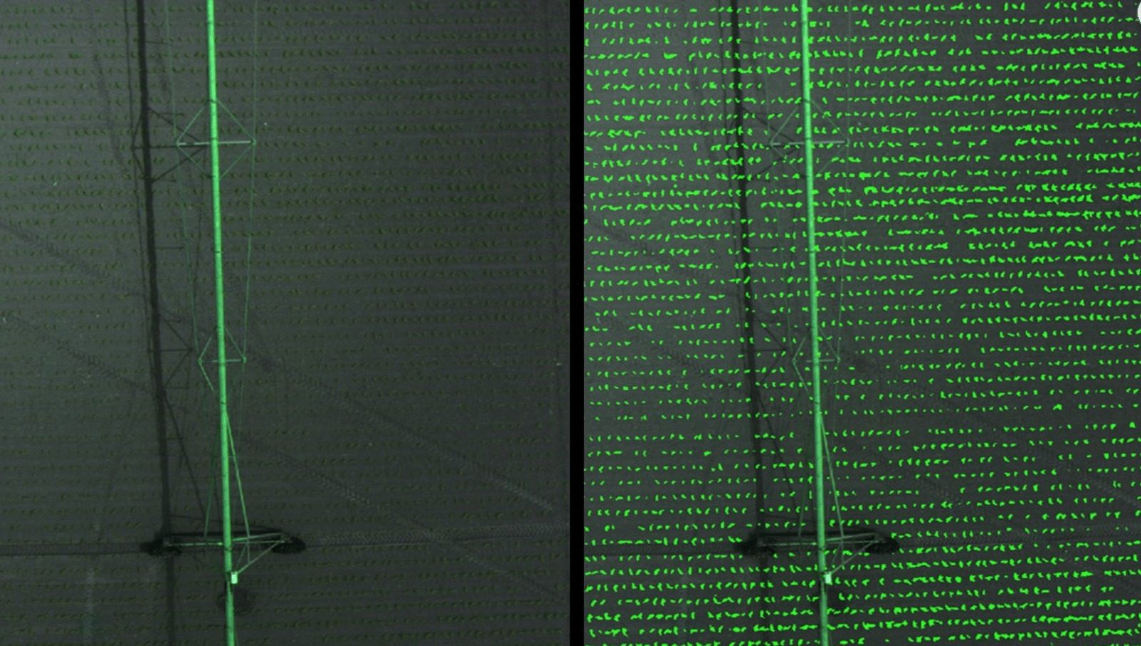
Built around Qualcomm’s Snapdragon Flight platform for drones, the sensor uses spectral imaging and computer vision techniques to look at the spatial patterns of growth in crops, weeds, dead vegetation, and bare soil, and to isolate the crop plants from the weeds and the background. It looks specifically at the color of the plant, how it’s growing and what patterns it’s following, focusing on green vegetation and subtle changes in color to detect changes early enough before it’s a problem. These metrics go beyond Normalized Differentiation Vegetation Index (NDVI), which is the commonly-used graphical indicator to show crop health through colors — bright green for areas with most vegetation to red for the least healthy areas. Many drone imagery companies now say NDVI maps do not give enough information about the state of crop health.
Currently, the startup’s feature set includes offering customers plant counts, plant size measurements, weed maps, vegetation fractions, and yield potential, but it will also provide Bayer with some custom analytics, according to Matthew Barre, director of strategic development at SlantRange. Barre could not disclose what these metrics would be.
“We’re extracting really high-value pieces of information. We’re not providing NDVI — that didn’t even come up — we’re going beyond standard metrics and extracting unique pieces of information about the growth of crops at their facilities,” he told AgFunderNews.
Bayer is paying “an order of magnitude more” than the typical $2 to $10 an acre for the information SlantRange will provide, reflecting this, according to Barre.


