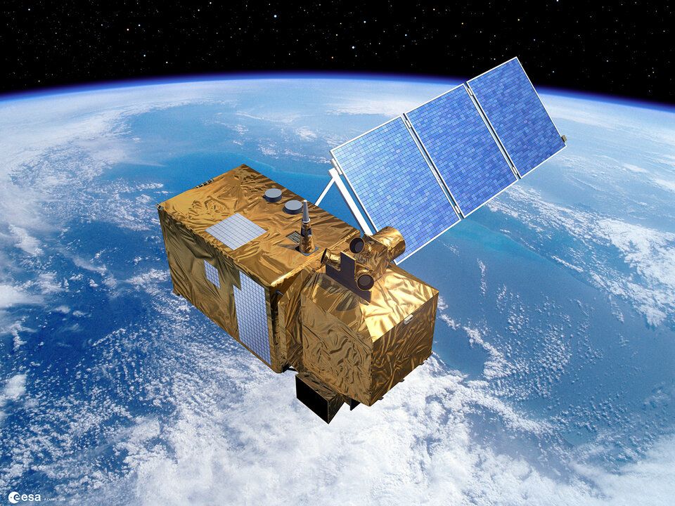
For every satellite launched up into space, there’s terabyte after petabyte of data being beamed back down.
And with the latest generation of satellites even smarter and being dispatched skyward by the dozen, those petabytes will soon become exabytes, zetabytes, or even yottabytes.
So, how on Earth do you collect and crunch such a celestial deluge of data?
This is where some remote sensing startups eye an opportunity: Leave the complex, capital-intensive satellite development to governments or Muskian moguls. Instead, find ways of making existing satellite data more useful and accessible through automated pattern recognition.
Space the enabler
“Space is increasingly becoming an enabler of digital, of data,” said the European Investment Bank’s head of innovation finance advisory, Shiva Dustdar, in a recent Sifted article. “The infrastructure is there and so much data is already being generated in space – but now we need more companies to create business models around that data.”
Firmly in the orbit of this business model is France’s SpaceSense, which sees agriculture as a major use case for the power of satellite data. The Paris-based startup believes the relevant data can be harnessed in a way that is far more automated, efficient, and “democratized” than it is — or isn’t — currently.
Rather than offer its own complete farm management system for precision agriculture, SpaceSense prefers to focus on creating the sorts of data streams from satellites that can — as seamlessly as possible — integrate with other data gathered terrestrially, whether that’s from drones, robots, or implanted IoT sensors.
CEO Jyotsna Budideti told AFN that the idea is to allow farm managers “to use all possible tools” in a way that is clear and measurably impactful. It would be unrealistic to replace up-close sensing with farm management from a vantage point in outer space; rather, she believes each perspective can be “extremely essential.”
What Budideti sees as her piece in the puzzle is to make sure that satellite data can be integrated, rather than remaining in a messy state that typically needs to be uncluttered by experts. This way it can provide a more complete and trustworthy picture for farm management companies – a picture that is not overly affected by cloud coverage or other traditional drawbacks to satellite imagery.
SpaceSense’s $1.2m seed round
Hot on the heels of World Space Week, SpaceSense — which launched last year — recently closed its seed round at €1 million ($1.2 million) driven by Parisian ‘venture-as-a-service’ company Techmind, alongside London-based Space Ventures Investors and angel pair Marc Batty and Thomas Cabrol, co-founders of data analytics company Dataiku.
Techmind managing director David Domingues and Space Ventures partner Thomas Lazaridis expressed relief that SpaceSense was not in the complex hardware business of managing its own satellites. Rather, the pair told AFN, they like how the startup can tailor datastreams from third-party satellites to fit a client’s business focus.
“You need to keep the costs low and to make it easy [as possible] for people to hop onto satellite data and adapt it to their needs,” said Lazaridis, explaining how the team extract and refine much of the data they work with from EU’s Copernicus earth observation platform.
He said he expects SpaceSense to stick to its “core expertise [of] AI” while exploring other use cases in deforestation, ocean monitoring, and infrastructure maintenance.
Of cocoa and conflicts
Similarly overlapping applications for satellite data exist throughout the constellation of remote-sensing startups operating worldwide. In some of these cases, they are helping to hold major corporations or governments to account.
Edinburgh-based Ecometrica is tracing cocoa supply chain corruption, while Utrecht’s Satelligence is working to expose palm oil-related deforestation. Boston’s Upstream Tech is using its BasinScout Platform to collaborate with the US Freshwater Trust on water quality and has launched AgTrends to support monitoring, verification, and impact reporting using satellite data and machine learning.
Initiatives like the Africa Soil Information Service, meanwhile, develop standards and methodologies for using satellites to improve cropland management. In Ukraine, US startup EOS Crop Monitoring has been measuring the impact of conflict on farm productivity, as well as helping the government there understand that its countryside holds more than 10 million acres of hitherto unregistered farmland.