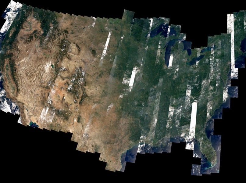
At any given moment, there are at least four visible satellites orbiting above your head. Chances are, at least two of them (if in low-orbit) are being used to monitor Planet Earth. One Texas-based company is harnessing the data and power of some of these satellites to help solve one of our most pressing troubles: water use and conservation.
According to the US Department of Agriculture (USDA), the agriculture industry accounts for 80-90 percent of domestic water consumption. To drown you with more facts, here’s another that will pull you under: half of that consumed water is reusable, while the other half is lost to evaporation, evapotranspiration, or in transit.
HydroBio, an advanced remote sensor company based in Amarillo, Texas, is seeking to curb this loss through its Software as a Service, or SaaS, approach. HydroBio utilizes satellite image-driven analytics to help farmers conserve water and maximize crop yields.
“It shouldn’t be an effort for farmers—they have to spend hours and hours on their irrigation strategy,” CEO of HydroBio Barrett Mooney, Ph.D. said. “There’s a problem of resource efficiency use in commercial agriculture. It’s a big problem that really affects all. [Our technology will] not only benefit the farmer’s bottom line, but also prevent residual effects.”
Predominately using satellite imagery and data, HydroBio provides specific parameters of water inputs, and can even identify problems with irrigation, equipment, fertilizer and pests in the field. The software can even point farmers to problems that would otherwise be lurking undetected in a field.
Mooney says that any information can be imported into the software–data from satellites, weather stations and even farmers’ own can all taken into consideration for the most accurate read. Taking a proprietary remotely sensed index, and combining the value with daily weather values, HydroBio’s software provides a data accurate down to one-eighth of an acre. The software also serves as a database that can be referenced seasons later.
There are other companies that are using satellites to provide farmers with better data, but Mooney says that HydroBio’s claim-to-fame is the company obtains data completely remotely.
“There is nothing from the field,” Mooney said. “No field techs, no installing probes…. [But,] we do like it if an irrigated farm has pivot or well monitoring hardware that we can interface with to show how much water is being applied to the farm.”
Currently servicing 35,000 acres in the Texas panhandle, HydroBio’s targeted customers are those who cultivate 2,500 acres or more. Mooney says they want to service farms of “some scalable size that farmers want to monitor, but can’t get to every day.”
Mooney estimates that farmers that subscribe to the software service and reduce irrigation by as little as 10% can save between $47,000 and $318,000 annually. The software not only allows for saving in both water and fertilizer, but also allows for automation for their applications.
To date HydroBio has been self-funded, thriving on a USDA grant and revenues generated through the sale of their software. Now, they are looking for investors to scale up. The last two years have been about perfecting the service, and now they are ready to bring it to a commercial level.
When asked about why funding is needed, Mooney said that it would simply allow for further development of the service. “It would allow a lot of infiltration of technology that is welcome and needed.” Given the minimal to no-hardware requirements, scaling up the service is a practical ambition.
“As the population zooms its way to 10 billion people,” Mooney said, “[We need to] reduce the impact on the environment with technology like this.”
FEATURED PHOTO: NASA Goddard Space Flight Center/Flickr


