Every poultry farm should implement biosecurity measures to prevent wild birds from infecting their flocks with avian flu. However, knowing where the risk is greatest at any given time can help firms focus efforts on where they are most vulnerable, says AgriNerds, the startup behind a predictive tool for determining waterfowl abundance in close proximity to commercial poultry.
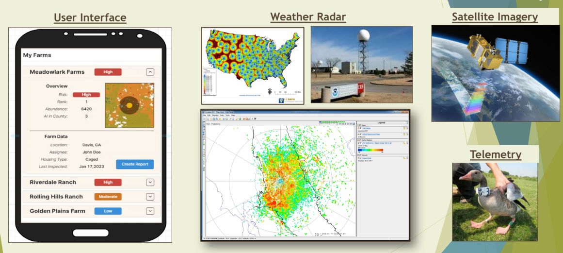
Using Next Generation Weather Radar (NEXRAD) data from the National Oceanic and Atmospheric Administration, telemetry (radio tags to track wild birds), satellite imagery, and ground based environmental data, AgriNerds produces daily predictive models of waterfowl locations via the waterfowl alert network.
“Several years ago, I read a paper by Jeff Buler [a professor of wildlife ecology at the University of Delaware] about how you can use radar, telemetry, and satellite imagery to make predictive models about where waterfowl are,” AgriNerds co-CEO Maurice Pitesky told AgFunderNews.
“This was really for ornithological purposes,” explained Pitesky, an associate professor at the UC Davis school of veterinary medicine. “But I started connecting the dots to ask how we could use this for food security, so we started the waterfowl alert network. It’s an SaaS tool, and the beauty of it is that the infrastructure you need to support it is basically present all over the planet, so it could have global reach.”
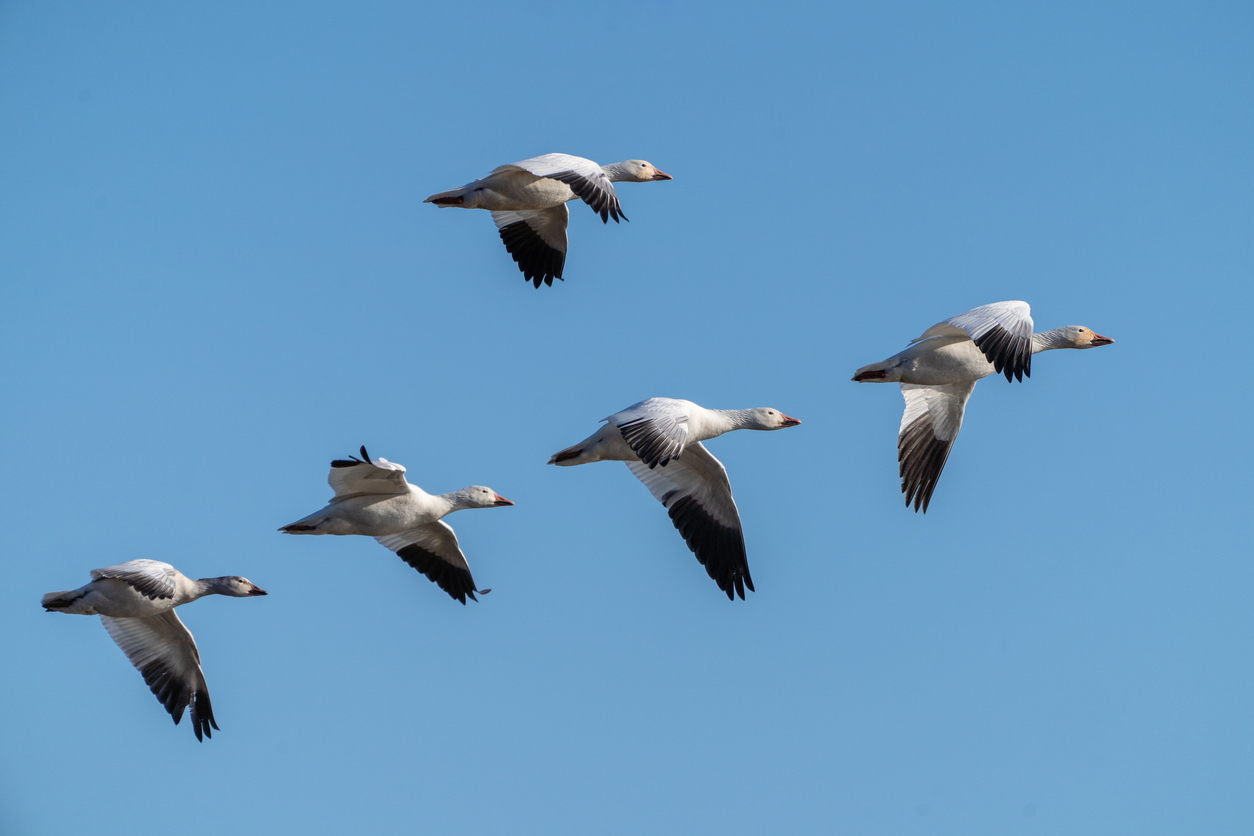
AgriNerds co-CEO Tristan Bond, a UC Davis engineering graduate, explained: “Waterfowl are one of the primary reservoirs of Highly Pathogenic Avian Influenza (HPAI), and something as simple as a bird flying over, or even worse, roosting in one of your water sources for your farm means you can easily bring the virus into the commercial flock.
“We are focused on identifying where the waterfowl are and where they’re going so that farmers can better prepare for these biosecurity risks that they’re going to be facing.”
Pitesky added: “There are 44,000 commercial poultry facilities in the United States, and if you’re Tyson, or Pilgrim’s Pride, or Perdue Farms, and you’ve got thousands of farms under your control, you’ve got to triage. We have forecasting tools that can identify where waterfowl are roosting relative to your facility and can predict which of your facilities are at greatest risk.
“We spend billions of dollars on our response to avian flu outbreaks, but how much are we really focused on prevention?”
Low, moderate, or high-risk
According to Bond: “Whereas NOAA’s NEXRAD systems need to discriminate against biological signals to make sure they have accurate weather predictions, we do the opposite. We discriminate against weather signals to make sure we have accurate biological information.
“We use signals captured from the radar to sample the birds as they take off at night. Waterfowl tend to roost for 14 hours and then they all take off and it’s really cool to see how their signal appears on the radar data. It looks like it’s going to be a storm, and it is, but of birds.”
He added: “When we put all the data together, we get granularity of 250 by 250 meter pixels. So what we’ve found is that the one to four kilometers around a farm are the most impactful for biosecurity. So when we try to understand farms’ risk, we look at those pixels and the birds in the distribution around them, along with any cases of HPAI that have been recorded, and calculate if it’s low, moderate, or high.”
If you have a lot of farms, said Pitesky, “You’ll get email alerts – because farms told us that is what they wanted – saying, these are the farms that over the next three days we’re predicting are going to have the highest waterfowl abundance within four kilometers of your facilities.”
Just because a farm might be considered low-risk one year, meanwhile, does not mean that it will be considered so every year, note Pitesky. “The habitat and the environment around the farm can change, and the weather can change.”
Generally, he said, wild birds are looking for a food source and a water source, and both can be subject to change, for example should a nearby farmer plant new or different crops, or should heavy rain create an environment that might attract waterfowl.
Use cases for farms, hunters, renewable energy projects
Currently, AgriNerds has users in over 30 states spanning over 1,500 farms, said Bond, who is also targeting the offering at hunters keen to know in advance where waterfowl are likely to be most abundant.
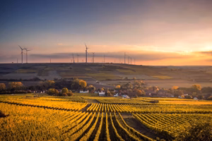
There is also interest from firms developing renewable energy projects (solar, wind) that want to find the most suitable locations to place assets, said Pitesky.
Longer term, he said, it would also make sense to think more strategically about where to locate poultry farms and how to shift habitats suitable for waterfowl to reduce the spatial overlap between wild waterfowl and commercial poultry.
“California is doing some re-flooding [to rebuild habitats for wildlife, and improve groundwater recharge for towns and farms], but it hasn’t been done in a very strategic fashion.”